Success Stories

Years experience in outsourcing

Global Group Companies

Multiple services. One Team.

Operations from SEZ’s
For over 2 decades, we have delivered top-tier CAD and GIS-based engineering design and drafting services to clients worldwide. Our commitment to quality, turnaround, and overall client satisfaction ensures that the project deliveries exceed expectations. We consistently stay ahead of the curve, ensuring our services remain current, innovative, and fully digital. Partner with us to achieve excellence in every project.
Service 01
CAD Services
We provide a wide range of CAD services, including CAD Conversion, 2D Drafting, 3D Modeling with our focus on varied industries:
Service 02
GIS Services
Leading GIS services & spatial data solutions provider offering extensive range of GIS services including Data mapping & processing, Custom geospatial services and solutions, Geocoding & Geoprocessing.
Service 03
Business Support Services
Services encompass IT / ITeS, Staffing Solutions, Contact Center Operations, and Workflow Management. We empower organizations to streamline operations and optimize performance across all sectors.

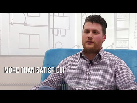
Experience our service's impact from our customers' perspective: genuine tales of achievement, contentment, and change that resonate with the essence of what we offer. Discover through their voices our commitment to excellence, how we've played a pivotal role in their journeys.
Cameron S.

Christopher C.
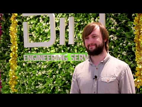
Nicholas S.

Josalyn F.
Jason L.

Steve
Partnerships that drive our success: a diverse community of esteemed clients whose visions and achievements inspire our journey forward

For over two decades, DIN has stood as a leading engineering CAD design and drafting service provider, delivering world-class, multi-disciplinary solutions across various platforms to a global clientele. Our partners gain strategic advantages through competitive offshore pricing, rapid scalability for seizing new business opportunities, and minimized expansion risks, all of which culminate in improved productivity and an enhanced bottom line. Meanwhile, our team thrives in an outstanding work environment, benefiting from employee stock ownership plans and ample opportunities for professional development.

Boost efficiency:
Transform complex operational challenges into streamlined processes that boost efficiency, reduce costs, and accelerate time-to-value.
Strategic agility:
Achieve rapid movement and smart scaling. Our trained workforce eliminates the necessity for additional hiring, delays, or operational overheads, enabling leaner and agile operations.
Guaranteed quality and turnaround:
Delivery as per the service level definition. Quality assurance teams, comprehensive checklists, and regular quality scorecards.
ESOPs:
Our Employee Stock Option Plans empower our workforce with a sense of ownership and motivation, fostering a continuous drive for excellence and growth.
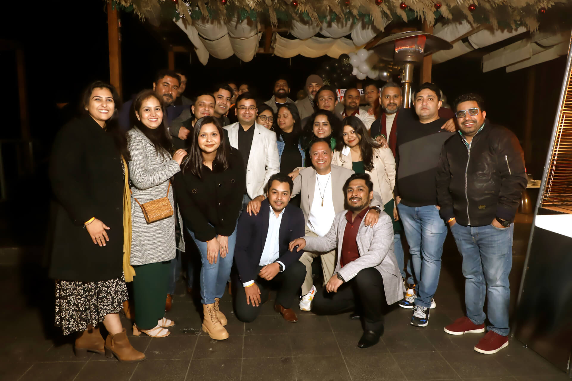
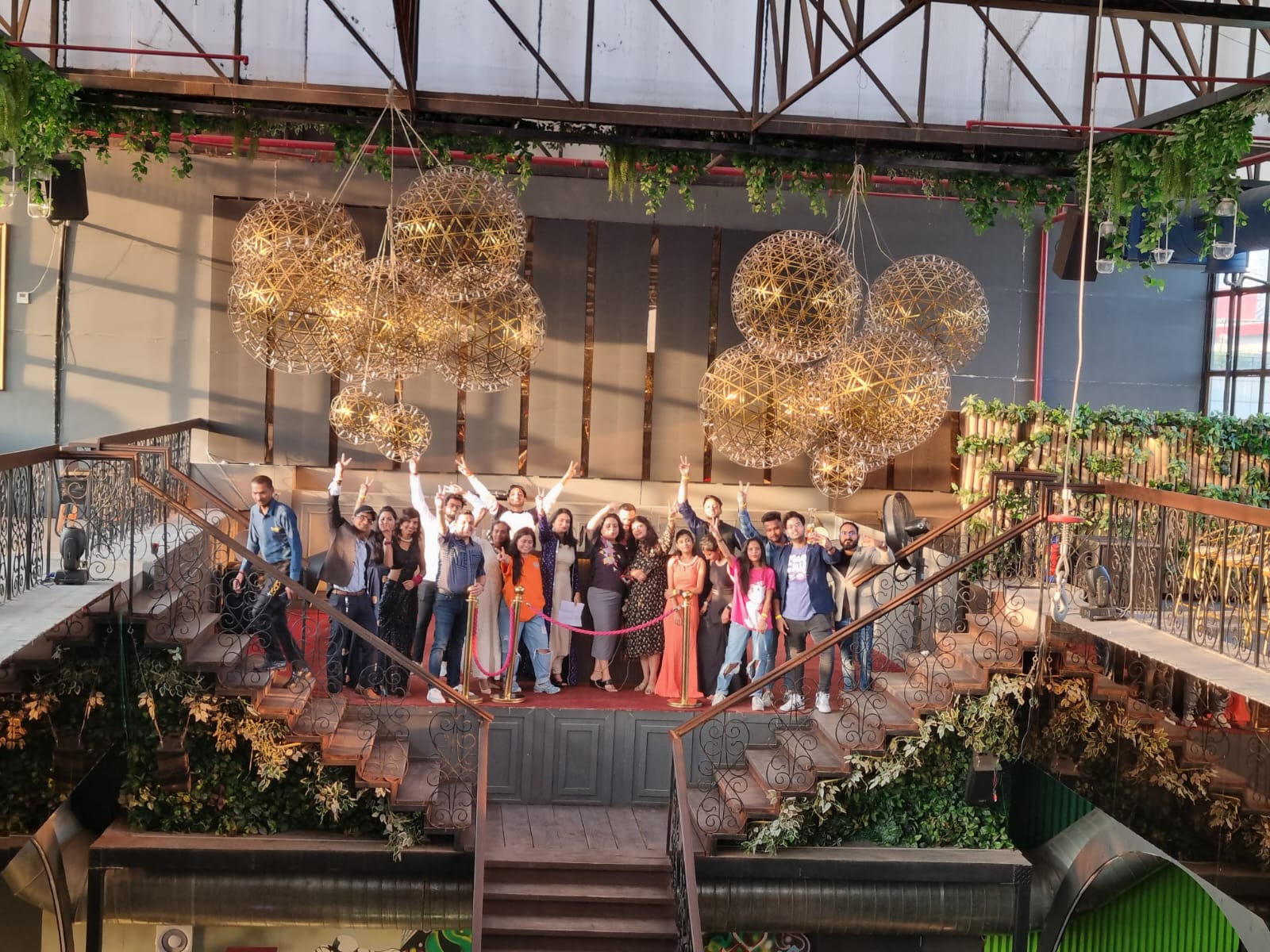
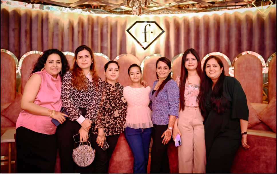
Our spotlight on the vibrant life within our office, from celebrating milestones and successes to embracing the joy of festivals together. We bring you updates on company events and offsites, our engagement in industry meet-ups, and the thrilling introduction of fresh initiatives. Stay connected and immersed in the essence of our corporate culture.

Find out how leading companies use DIN to stay ahead of the competition and reduce critical costs. Get in Touch