scroll to top
scroll to top
scroll to top

DIN provides customized data annotation solutions designed to transform raw visual and spatial data into structured datasets for AI and machine learning applications. Our annotation workflows can be adapted to project-specific classes, labeling guidelines, quality requirements, and output formats.
We support annotation requirements across engineering, solar, roofing, GIS, telecom, infrastructure, and other visual-data-driven applications.


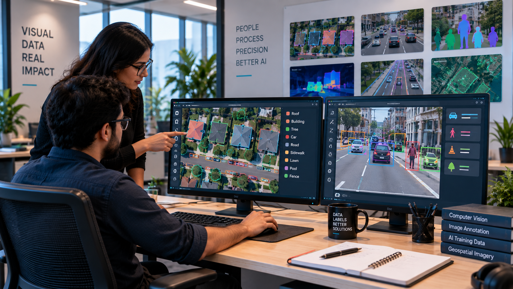


DIN combines structured annotation workflows with domain-specific understanding to deliver datasets that are consistent, scalable, and aligned with your AI project requirements.

To begin your data annotation project efficiently, we require the following information:
Once the required information is received, our team reviews the dataset and annotation requirements, establishes the appropriate workflow, and proceeds with annotation and quality validation according to the agreed specifications.
Whether you use a preferred annotation platform, internal labeling environment, GIS workflow, or custom AI pipeline, DIN can adapt its annotation process to your existing ecosystem. We align with your tools, annotation guidelines, data structures, and delivery requirements-helping you integrate annotated datasets into your workflow without unnecessary changes.









DIN provides structured data annotation support for teams that need dependable production capacity, consistent labeling, and domain-aware handling of complex visual datasets.
Annotated data can be delivered in formats and structures aligned with the project requirements, including commonly used image, text, JSON, CSV, GIS, and other client-specified formats. Final formats can be agreed during project planning.
Yes. Annotation categories, class definitions, labeling rules, attributes, edge cases, and quality requirements can be defined according to your project specifications and dataset requirements.
Yes. DIN can annotate video datasets frame by frame and track objects across sequences. This can support applications involving object detection, movement tracking, activity recognition, and scene understanding.
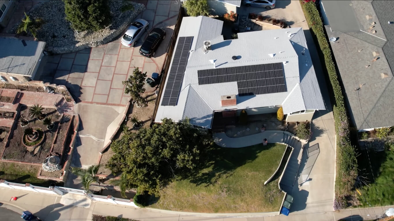
Yes. We can create customized annotations for solar, roofing, and property datasets, including roof areas, solar panels, trees, obstructions, buildings, driveways, pathways, swimming pools, fences, and other relevant property features.
Yes. DIN can annotate aerial and satellite imagery to identify and classify features such as buildings, roofs, solar panels, roads, trees, pathways, vehicles, fences, property boundaries, and other geographic or infrastructure elements.
We can work with a wide range of visual datasets, including aerial imagery, satellite images, property photographs, roofing images, solar imagery, infrastructure images, road scenes, and other project-specific visual datasets.
DIN provides image, video, 3D, point cloud, and geospatial data annotation services. Our solutions include object detection, classification, segmentation, polygon, polyline, keypoint, and object-tracking annotation based on project requirements.
Explore DIN’s broader engineering and drafting capabilities designed to support your projects. From specialized design services to technical documentation, discover solutions built around your operational needs.














Find out how leading companies use DIN to stay ahead of the competition and reduce critical costs. Get in Touch